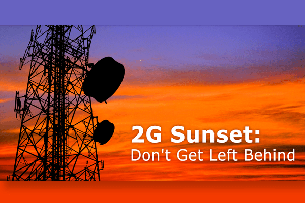
You might have already heard the buzz around the 2G sunset. In the article below, we try to answer some of the most common questions about the 2G sunset and what it means for fleet managers.
Q: What is the 2G sunset?
A: The demand for mobile broadband data has sky-rocketed with the increasing popularity of smart devices and M2M applications. According to AT&T, in the United States, “…data traffic has grown at a staggering rate since 2007, and will continue to increase dramatically in the foreseeable future.” Therefore, some cellular carriers are phasing out 2G to better respond to customer demand for enhanced services.
Q: When will the shutdown of 2G start?
A: Fleet managers should begin planning right away for the North American 2G transition to avoid any interruptions in service. Although AT&T plans to retire its 2G network in the U.S. by January 1, 2017, it has declared that some markets and territories may be sun-setted before then. There are reports that AT&T’s 2G service shut down has already started.
Worldwide, 2G is the preferred wireless technology, particularly in Asia and Africa, and providers will continue to support 2G for the near future. Australia’s Telstra announced that its 2G (GSM) network will close by the end of 2016. No confirmed dates of the 2G shut down for Canada have been announced, although Canadian Business reports, “Industry watchers predict most telecoms will abandon 2G by 2020.”
Q: What are the advantages of 3G?
A: The key advantages of later generations of cellular communications are enhancements in functionality and speed. All things considered, moving to 3G offers the benefits of upgraded hardware, access to advanced fleet management solutions, and widespread availability.
Q: Why should fleet managers transition to 3G?
A: The 2G shutdown in North America will have a real impact on vehicle tracking and fleet management. Fleet managers with outdated 2G telematics devices will eventually experience issues with connectivity and their units will stop reporting.
Transitioning to 3G will allow fleet managers to effectively manage and track their vehicles. Many 3G devices are also backwards compatible; this means, if a 3G network is not available, they will fall back or work on a 2G network if one can be found.
Upgrading devices makes it possible to take advantage of the latest Geotab Marketplace mobile apps and add-ins for driver safety, fleet efficiency, vehicle health, and compliance, such as:
- Mobileye – Advanced Collision Prevention
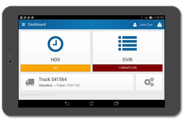
- Geotab Drive – Smart Driver App for DVIR (Driver Vehicle Inspection Reporting) and HOS (Hours of Service)
- GO TALK – Live In-Vehicle Driver Coaching with Verbal Feedback
2G Technology Will Get Left Behind.
Q: How is Geotab helping customers with 2G hardware?
A: Geotab is offering a special promotion to help customers with existing 2G hardware upgrade to new technology.
- New Geotab GO7 Device Promo
- Free hardware switch for Geotab devices operating on the KORE, Jasper and Aeris networks.
- Contact your sales rep or [email protected] to see if your devices qualify for this upgrade to take advantage of this limited time opportunity.
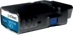
Q: What are the advantages of the Geotab GO7 Device?
A: The new Geotab GO7 devices have several advantages over the older hardware. Over the years we have increased the data we can collect from the vehicle, including seatbelt usage, richer engine diagnostic data, fluid level monitoring, and engine health monitoring through temperatures. The older devices do not have enough memory to run the newer firmware so this data is not available on the older hardware.
G-force monitoring has also been improved; the GO7 takes more sensitive readings compared to early accelerometer in the GO5 devices.
Most importantly, the GO7 has the ability to add-on additional solutions or sensors through the IOX.
Benefits of the GO7 device:
- Fast GPS acquisition time for superior data accuracy
- High quality recording of valuable vehicle health and safety information
- In-vehicle driver coaching
- Accident detection and notification
- Compact and durable (no external antenna)
- IOX expansion for flexibility and third-party integration (e.g. temperature tracking, camera systems, etc.)
- Easy plug & play installation
Wireless technology is always evolving. Rapid advancement demands strategic planning to ensure that vehicle management and asset tracking is not negatively affected.
USA customers, contact your sales rep or [email protected] to take advantage of the Geotab GO7 promotion! Promotion ends December 31st, 2015.
For more information on the 2G Sunset, read this popular article:
“Elimination of 2G Networks”.
Original Article By Geotab
https://www.geotab.com/blog/dont-get-left-behind-2g-sunset-faqs/